
Sponsor Agency: WV State Historic Preservation Office
Sponsor Agency: WV Department of Transportation GTI Section
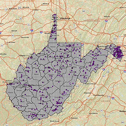
Sponsor Agency: WV Broadband Development Council, WV GES, WV DHSEM
Sponsor Agency: WV Humanities Council and others.
Sponsor Agency: WV Infrastructure and Development Council
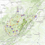
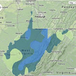
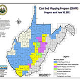
Sponsor Agency: WV Geological and Economic Survey
Sponsor Agency: WV Department of Education, WV GIS Technical Center
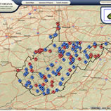
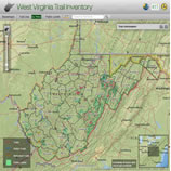
Sponsor Agency: WV DNR

Sponsor Agency: WV Department of Environmental Protection Tags
Sponsor Agency: WV GIS Technical Center
Sponsor Agency: WV USDA
http://www.plantmaps.com/interactive-west-virginia-usda-plant-zone-hardiness-map.php
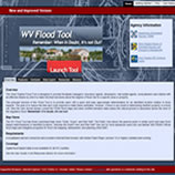
Sponsor Agency: WV National Flood Insurance Program Office, WV Division of Homeland Security & Emergency Management (WV DHSEM), WV GIS Technical Center
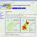
Sponsor Agency: WV Geological and Economic Survey
Sponsor Agency: WV Aeronautics Commission /WV Department of Transportation
Sponsor Agency: WV Department of Transportation GTI Section
http://www.transportation.wv.gov/highways/programplanning/gti/GIS/Pages/MappingApplications.aspx
Sponsor Agency: WV Department of Transportation & WV Development Office
Sponsor Agency: WV GIS Technical Center